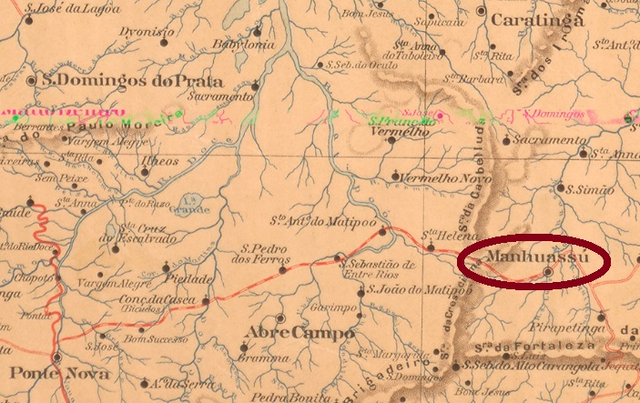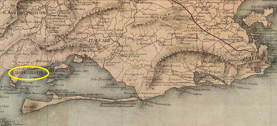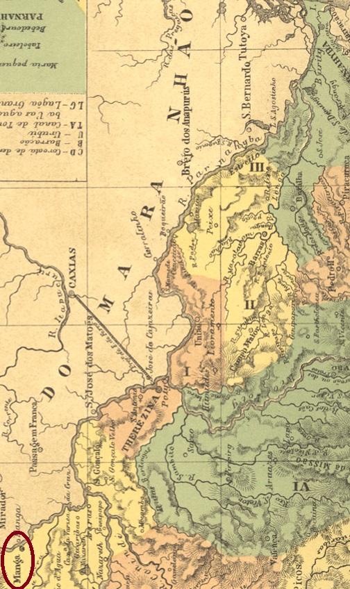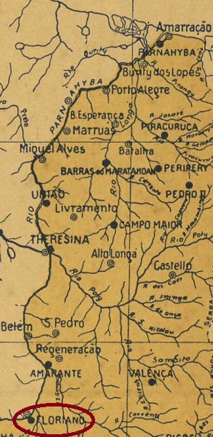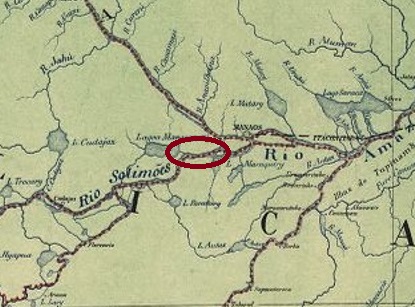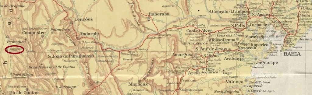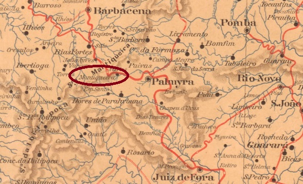
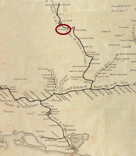
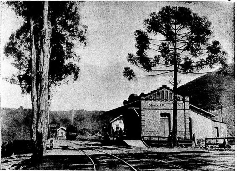
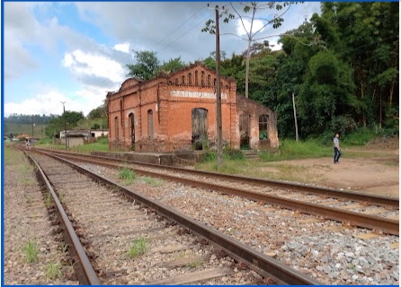
Mantiqueira Station was opened in June 1878 by the E. F. D. Pedro II railway company (Center Line). It was located on the north bank of the Rio do Pinho in the municipality of Barbacena, 180 kilometres south of the provincial capital Ouro Preto. Since July 1889, it has been located in the municipality of Palmira, and since July 1932, in the municipality of Santos Dumont. The railway line was transferred to E.F. Central do Brasil in 1889 and belonged to Rede Ferroviária Federal S.A. from 1975 until its closure in 1996 (estacoesferroviarias.com.br). Today, the tracks are still there, but the station building is in a state of disrepair.


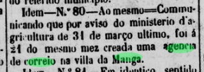
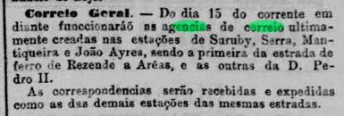
Two dates have been found for the establishment of the station post office. The first was in February 1879, as reported in the Rio press.

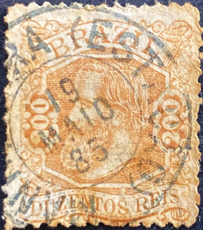
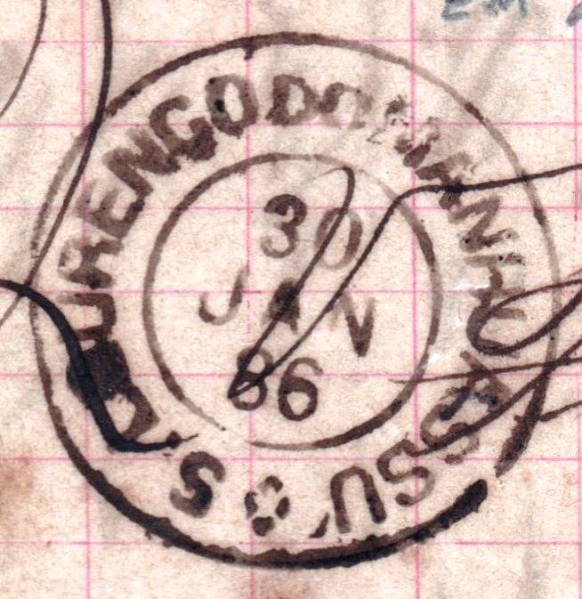
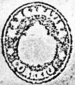
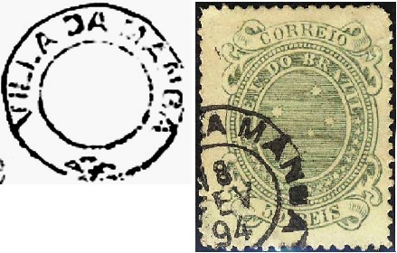
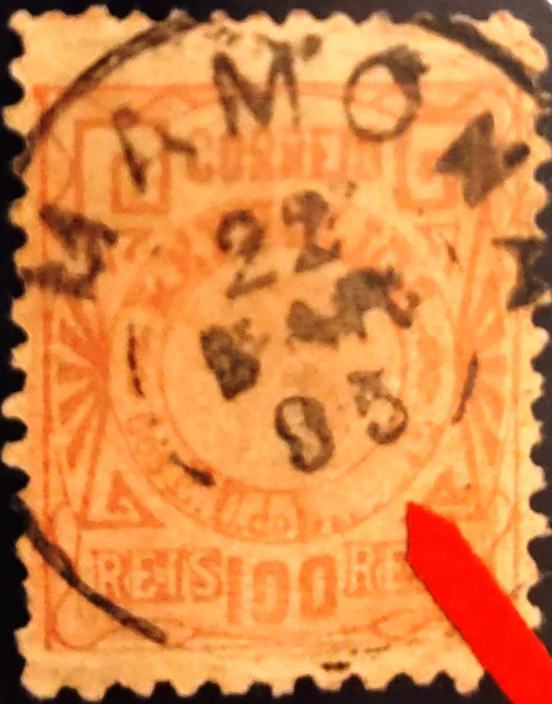
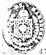
It is mentioned a second time in July 1881, as can be read in the postal report (Relatorio dos Correios) for 1886. The second date probably corresponds to the opening of the post office. The imperial postmark is MMG-1545a (Fig. Luiz C. Fritzen), which appears in green-blue:

Der Bahnhof Mantiqueira wurde im Juni 1878 von der Eisenbahngesellschaft E. F. D. Pedro II. (Hauptlinie) eröffnet. Er lag am Nordufer des Rio do Pinho im Munizip Barbacena, 180 Kilometer südlich der Provinzhauptstadt Ouro Preto. Seit Juli 1889 liegt er im Município de Palmira und seit Juli 1932 im Município de Santos Dumont. Die Bahnlinie ging 1889 an die E.F. Central do Brasil über und gehörte von 1975 bis zur Stilllegung im Jahr 1996 zur Rede Ferroviária Federal S.A. (estacoesferroviarias.com.br). Heute sind die Gleise noch vorhanden, das Bahnhofsgebäude ist jedoch verwahrlost.
Es wurden zwei Daten für die Entstehung des Bahnhofspostamts gefunden. Erstmals im Februar 1879, wie aus der Presse in Rio hervorgeht.
Ein zweites Mal wird es im Juli 1881 erwähnt, wie im Postbericht (Relatorio dos Correios) für 1886 nachzulesen ist. Vermutlich entspricht das zweite Datum der Inbetriebnahme des Postamts. Der kaiserliche Poststempel ist MMG-1545a (Abb. Luiz C. Fritzen), der in grünblau vorkommt: