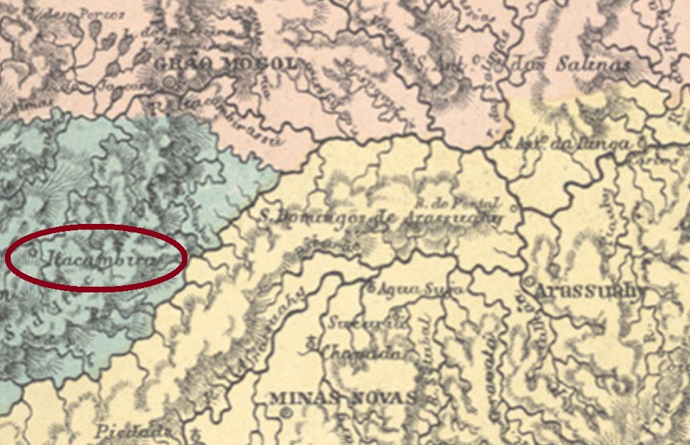
Other names: Santo Antonio do Itacambirussu (1840), Itacambira (1923)
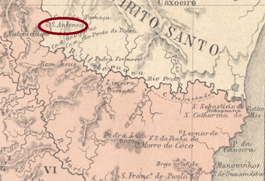
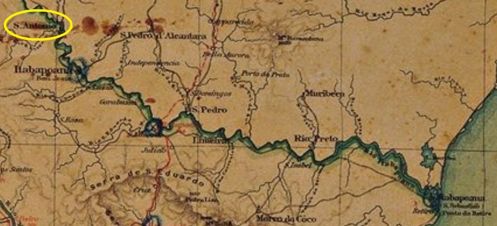
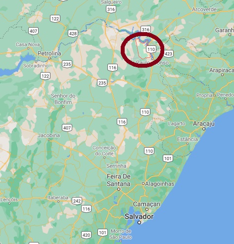
Santo Antonio de Itacambira was a freguesia which belonged at its foundation in March 1813 to Grão-Mogol, situated over 500 km north of the province capital Ouro Preto. In April 1840 the name changed to a pompous Santo Antonio do Itacambirussu da Serra do Grão-Mogol. Only in September 1923 the toponym became a simple Itacambira, which was elevated to a town in own municipality in December 1962. The tupi word itacambira means allegedly sharp stone from the dense forest.
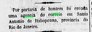
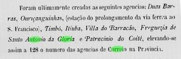
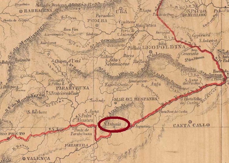
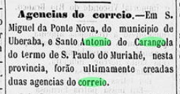
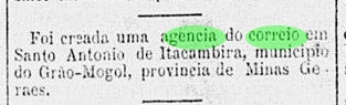
According to Paula Sobrinho (História Postal de Minas Gerais, Belo Horizonte, 1997), the local post office was created in July 1889, as reported by the Rio press:

Cancels dated before the end of the Empire on November 15 must be very rare, but we have found two later obliterations from the Márcio Protzner collection. SMG-2995a is a manuscript one. Here one can read Itacambira and the date of July 27, 1898, but maybe the postal clerk had written the whole toponym. SMG-2995b is probably a republican cancel, for it was found with a date of 1903. The double circle has the inscriptions S. ANT. DE ITACAMBIRA above and (MINAS) below, with date at the centre.
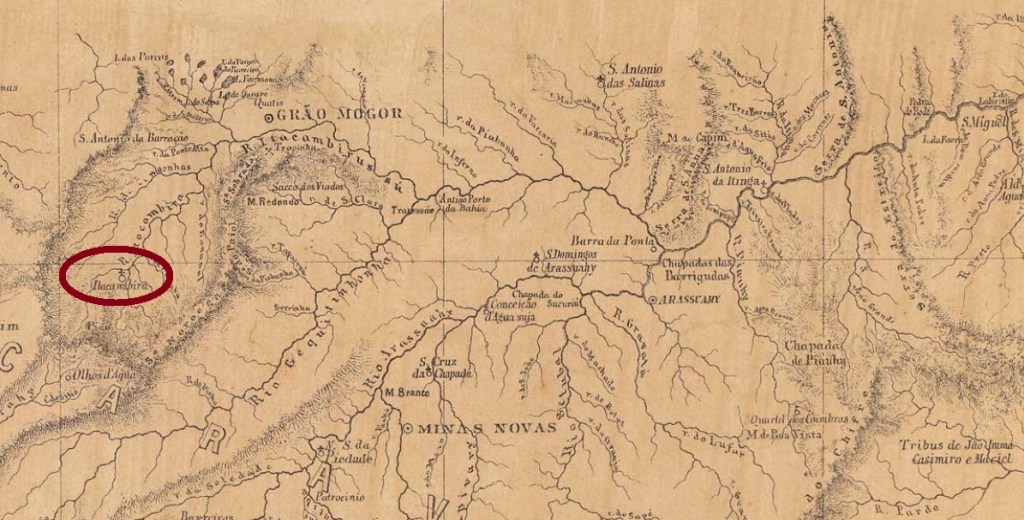
Andere Namen: Santo Antonio do Itacambirussu (1840), Itacambira (1923)
Santo Antonio de Itacambira war seit der Gründung im März 1813 eine Freguesia von Grão-Mogol, die über 500 km nördlich der späteren Provinzhauptstadt Ouro Preto lag. Im April 1840 wechselte der Name zu einem bombastischen Santo Antonio do Itacambirussu da Serra do Grão-Mogol. Erst im September 1923 wurde der Ortsname zu Itacambira vereinfacht, und der Ort wurde im Dezember 1962 zur Stadt erklärt. Das Wort itacambira kommt aus der Tupi-Sprache und soll spitzer Stein aus dem Dickicht bedeuten.
Wie Paula Sobrinho berichtet (História Postal de Minas Gerais, Belo Horizonte, 1997), gibt es dort ein Postamt seit Juli 1889. Dies bestätigt die Presse aus Rio:
Stempel mit Daten bis zum Ende des Kaiserreichs am 15. November müssen sehr selten sein. Wir haben lediglich zwei spätere Entwertungen gefunden, beide aus der Sammlung Márcio Protzner. SMG-2995a ist eine handschriftliche Entwertung. Hier kann man Itacambira und das Datum vom 27. Juli, 1898 lesen, wobei der Postangestellter den gesamten Ortsnamen geschrieben haben mag. SMG-2995b ist wahrscheinlich bereits ein Stempel der Republik, da er im Jahr 1903 verwendet wurde. Der Doppelkreis hat die Inschriften S. ANT. DE ITACAMBIRA oben und (MINAS) unten, dazu das Datum in der Mitte.