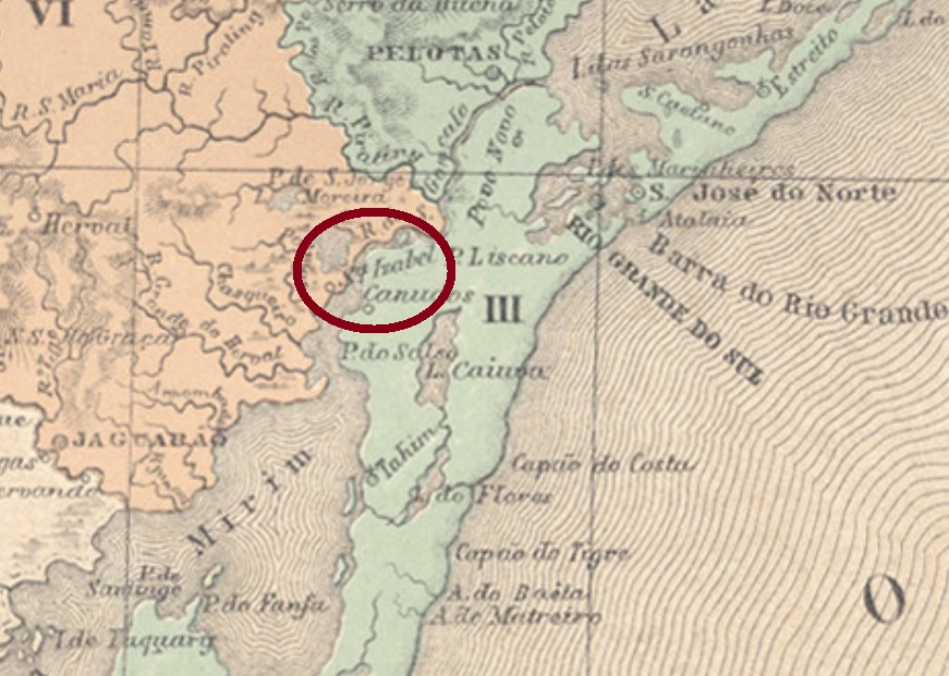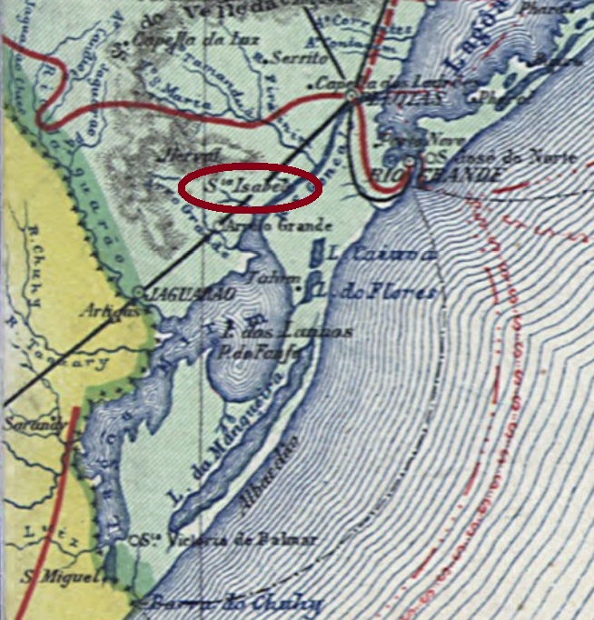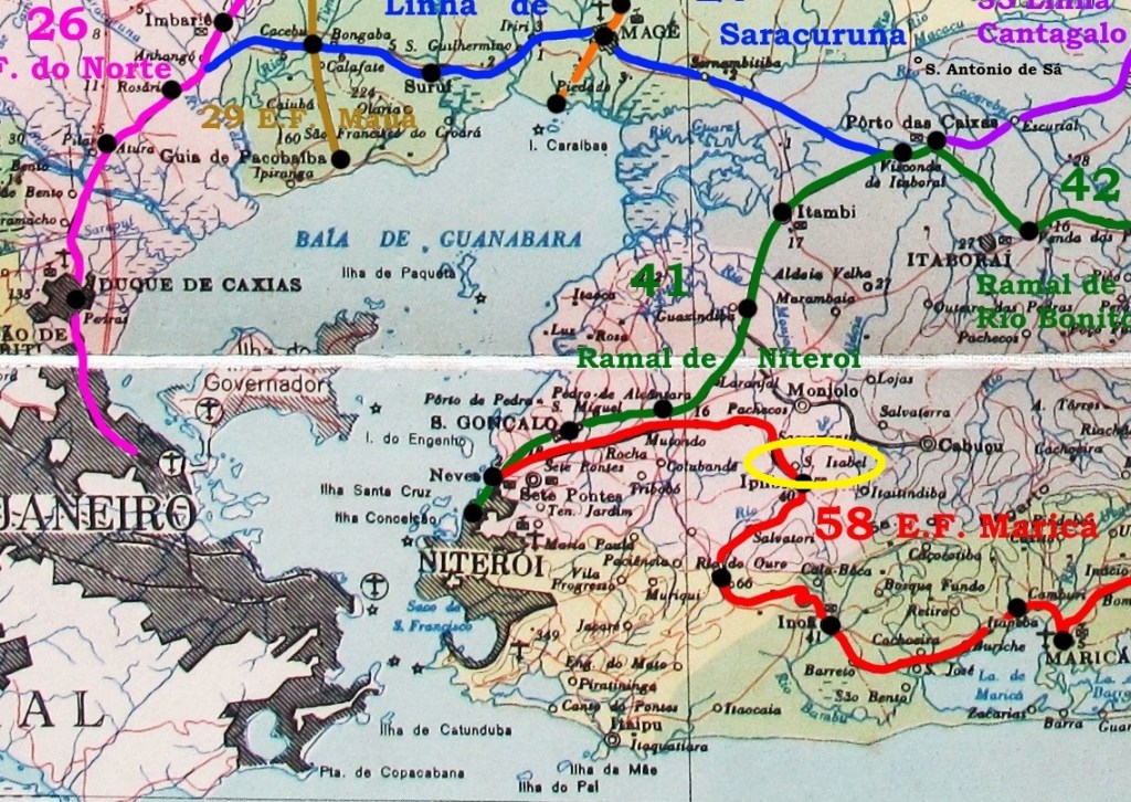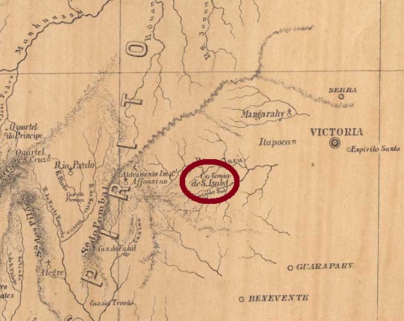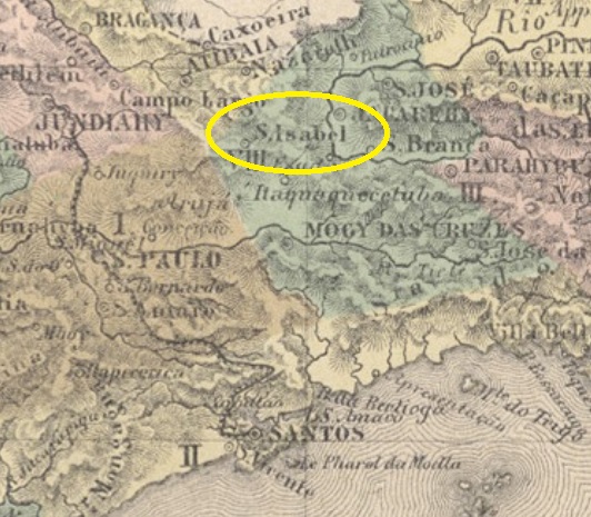
The freguesia of Santa Izabel was created in June 1812 in the municipality of Mogy das Cruzes, round 60 km northeast of the town of São Paulo. In June 1832 it emancipated as a villa, and became a town in May 1893.
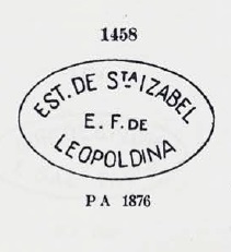
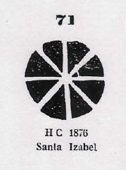
According to Nova Monteiro (Administrações e Agencias Postaes do Brasil Imperio, in Brasil Filatelico/RJ, 1934-5; Reprint SPP 1994-1999) the local post office was created in November 1859. Since Roberto Baylongue inform us that this agency at the beginning has run with high deficit (http://www.abrafite.com.br/bibliotecad.htm), the earliest cancel, SSP-1295a (Coll. José A. Junges), would be quite rare: it only has the inscription SANTA IZABEL within an oval frame, was found on a D. Pedro issue of 1866 and is absent in Paulo Ayres (Catálogo de Carimbos Brasil-Império, S. Paulo, 1937, 1942). On the other side, Ayres presents a mute cancel from there under #71, which was allegedly found on a D. Pedro issue of 1876:

There was also a French-type cancel from Santa Izabel, SSP-1295b (Baylongue, op.cit.): a double circle with the inscription SANTA ISABEL above and the typical star between parentheses below. Found on objects between 1878 and 1888.
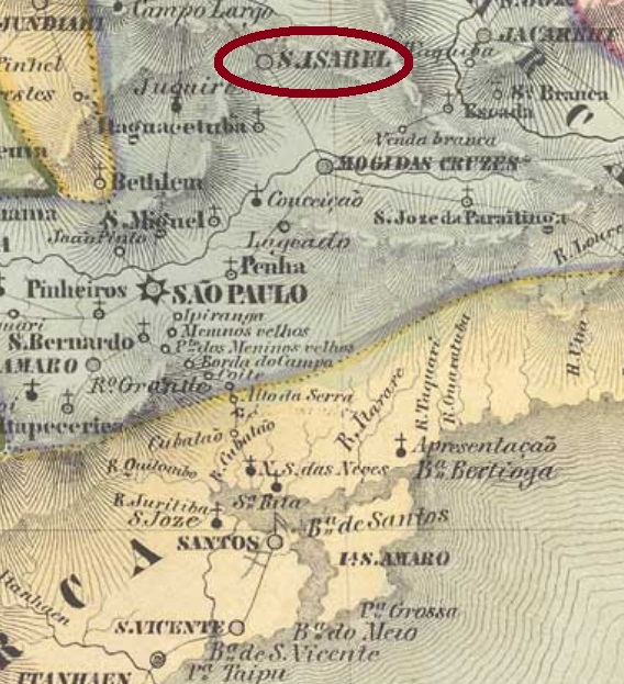
Die Freguesia von Santa Izabel wurde im Juni 1812 im Bezirk Mogy das Cruzes gegründet und lag rund 60 km nordöstlich von der Stadt São Paulo entfernt. Im Juni 1832 wurde daraus eine Villa, die im Mai 1893 zur Stadt erhoben wurde.
Laut Nova Monteiro (Administrações e Agencias Postaes do Brasil Imperio, in Brasil Filatelico/RJ, 1934-5; Reprint SPP 1994-1999) entstand das örtliche Postamt im November 1859. Da Roberto Baylongue berichtet, dass diese Agentur am Anfang tiefrote Zahlen schrieb (http://www.abrafite.com.br/bibliotecad.htm), sollte der älteste Stempel, SSP-1295a (Samml. José A. Junges), ziemlich selten sein: er zeigt lediglich SANTA IZABEL in einem ovalen Rahmen, wurde auf einer D. Pedro-Ausgabe vom 1866 gefunden und ist nicht im Paulo Ayres (Catálogo de Carimbos Brasil-Império, S. Paulo, 1937, 1942) vorhanden. Auf der anderen Seite, Ayres stellt uns einen stummen Stempel aus Santa Izabel unter Nr. 71 vor, der angeblich auf einer D. Pedro-Ausgabe von 1876 zu sehen war:
Darüber hinaus gibt es einen Santa Izabel-Stempel französischen Typs: SSP-1295b (Baylongue, op.cit.) hat einen Doppelkreis mit der Inschrift SANTA ISABEL oben und dem typischen Stern zwischen Klammern unten. Gefunden auf Objekten, die von 1878 bis 1888 datiert sind.