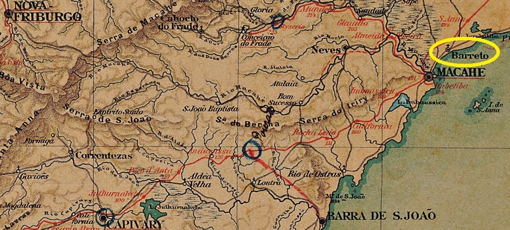
Other names: Barreto, Cabiúnas (1938), Barra de Macaé (1969)
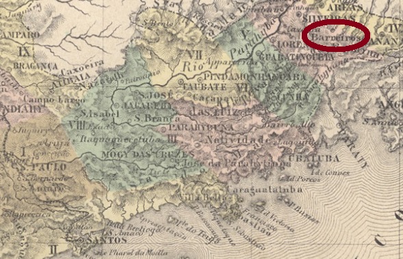
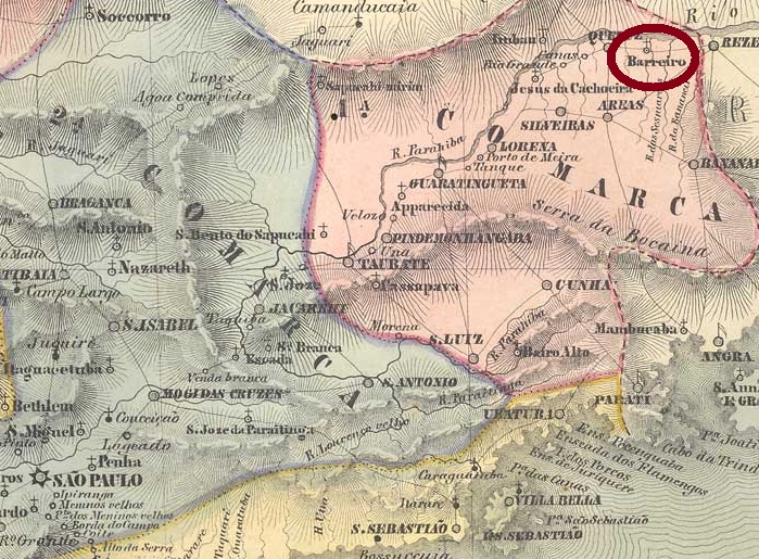
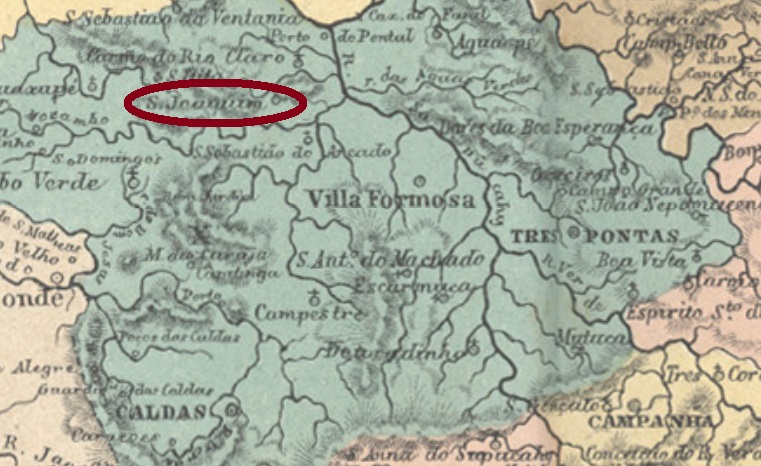
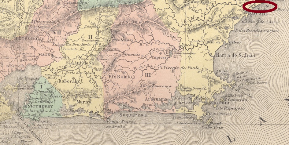
São José do Barreto was a small settlement near Macahe (now written Macaé), located directly on the Atlantic Ocean, 200 km west of the imperial capital Rio de Janeiro. In October 1857 it became a district, later a freguesia, which has since changed its name twice: to Cabiúnas (1938) and to Barra de Macaé (1969).
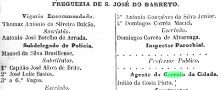
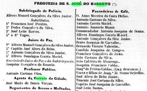
As Paulo Novaes reports in agenciaspostais.com.br, there was an imperial post office there between 1870 and “ca. 1886”. However, the agency may have opened earlier, as two local postal clerks were mentioned before 1870:
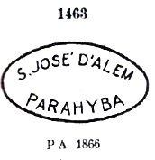
A postmark in the Empire was found: SRJ-1430a (Coll. José A. Junges) shows an ellipse with the inscription S. JÉ. DO BARRETO, found on stamps issued in 1866 and 1877.
Andere Namen: Barreto, Cabiúnas (1938), Barra de Macaé (1969)
São José do Barreto war eine kleine Siedlung bei Macahe (heute Macaé geschrieben), die direkt am Atlantik, 200 km westlich der kaiserlichen Hauptstadt Rio de Janeiro entfernt lag. Im Oktober 1857 wurde daraus ein Distrikt – später auch eine Freguesia – der seitdem den Namen zweimal gewechselt hat: zu Cabiúmas (1938) und zu Barra de Macaé (1969).
Wie Paulo Novaes in agenciaspostais.com.br berichtet, gab es dort ein kaiserliches Postamt zwischen 1870 und „ca. 1886“. Die Agentur könnte dennoch früher mal geöffnet haben, denn zwei Postangestellte vor Ort wurden vor 1870 bekannt gemacht:


Ein Poststempel im Kaiserreich wurde gefunden: SRJ-1430a (Samml. José A. Junges) zeigt eine Ellipse mit der Inschrift S. JÉ. DO BARRETO, gefunden auf Marken, die 1866 und 1877 ausgegeben wurden.