Other names: Morro Grande, Barão de Cocais (1943)
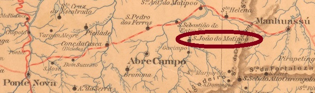
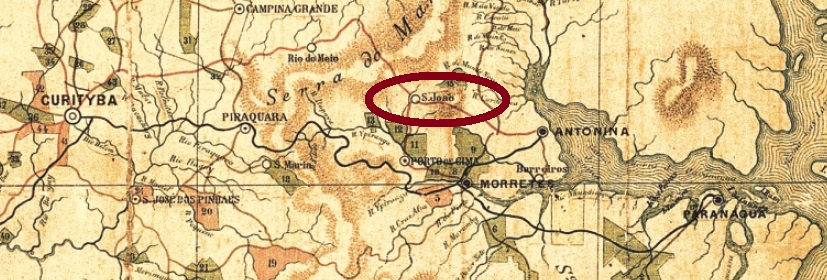
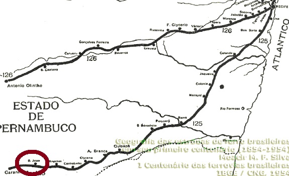
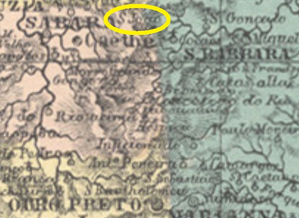
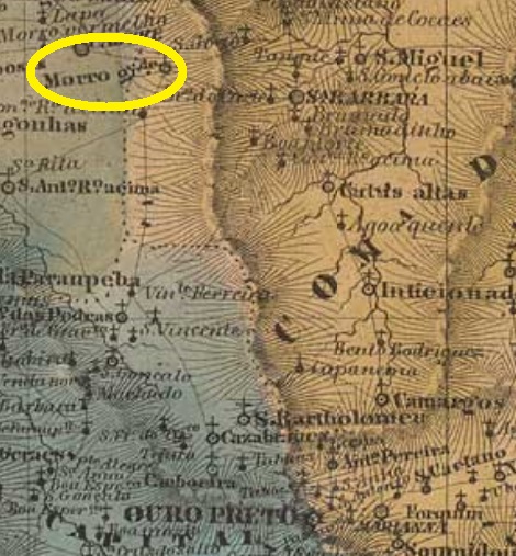
Founded in January 1752 near Santa Barbara, the parish of Sao João Baptista do Morro Grande was located directly on the Santa Barbara River, about 80 km north of the later provincial capital Ouro Preto. In April 1926 it became a district, which in December 1938 was given the simplified name Morro Grande. Political autonomy came in December 1943, and the new municipality was henceforth called Barão de Cocais. This baron (1802-1869) was a famous son of the area, named José Feliciano Pinto Coelho, military, politician and mining entrepreneur, whose career almost came to an end during the Liberal Revolution of 1842.
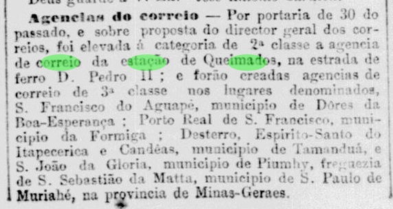
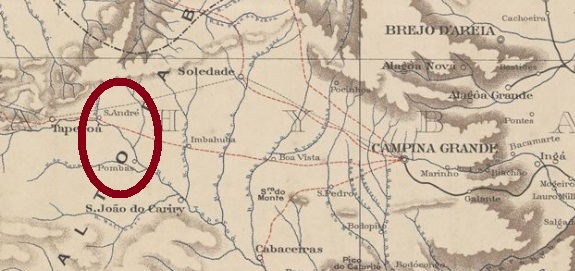
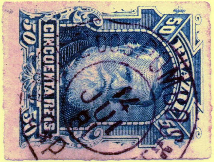
According to Paula Sobrinho (História Postal de Minas Gerais, Belo Horizonte, 1997), the post office was established there in October 1887. The only cancel of the imperial period, SMG-2385a (Coll. José A. Junges) is a simple double circle with inscription S. JOĀO DO MORRO GRANDE above. Only one copy was found, with a date of 1887 at the centre.
Andere Namen: Morro Grande, Barão de Cocais (1943)
Die Pfarrei von São João Baptista do Morro Grande wurde im Januar 1752 bei Santa Barbara gegründet und lag direkt am Fluss Santa Barbara, gut 80 km nördlich der späteren Provinzhauptstadt Ouro Preto entfernt. Im April 1926 wurde daraus ein Distrikt, der im Dezember 1938 den vereinfachten Namen Morro Grande erhielt. Die politische Autonomie kam im Dezember 1943, und der neue Município hieß fortan Barão de Cocais. Dieser Baron (1802-1869) war ein berühmter Sohn der Gegend, mit Namen José Feliciano Pinto Coelho, Militär, Politiker und Bergbau-Unternehmer, dessen Karriere bei der Liberalen Revolution von 1842 beinah zu Ende ging.
Laut Paula Sobrinho (História Postal de Minas Gerais, Belo Horizonte, 1997), wurde das Postamt dort im Oktober 1887 ins Leben gerufen. Der einzige Stempel der Kaiserzeit, SMG-2385a (Samml. José A. Junges), ist ein schlichter Doppelkreis mit Inschrift S. JOĀO DO MORRO GRANDE oben. Nur ein Exemplar wurde gefunden, das ein Datum von 1887 in der Mitte hat.