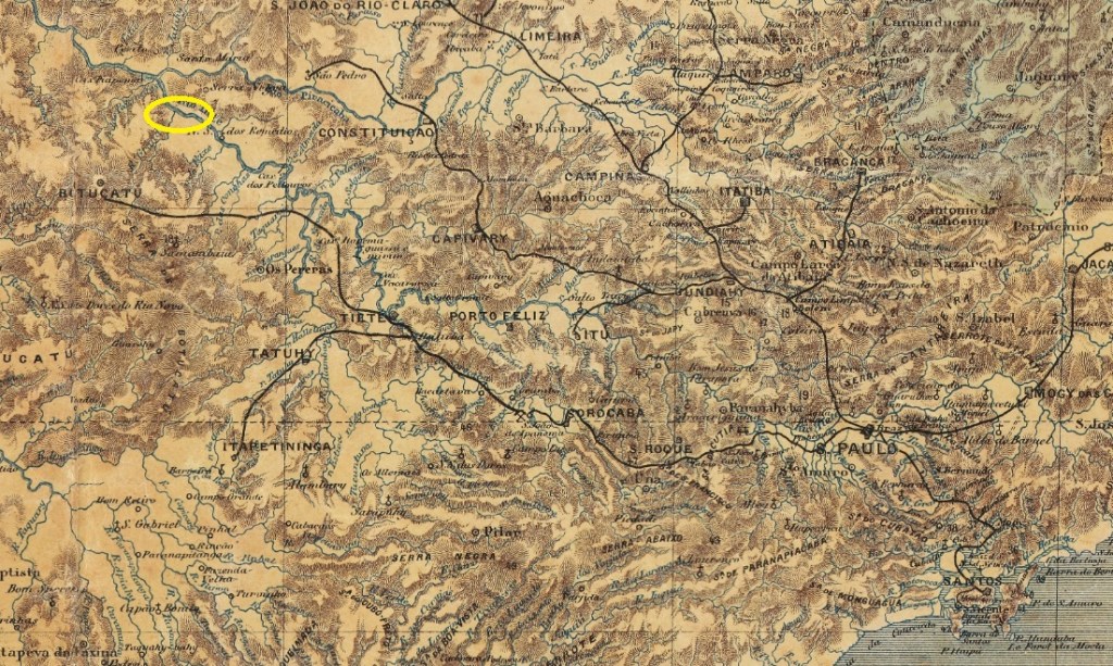
Here we are once again dealing with a place that has now disappeared from the map and about which many questions remain unanswered. Porto (do) Martins was built before 1880 on the south bank of the River Tietê in the municipality of Botucatu, 250 km north-west of the provincial capital, São Paulo. From the outset, Porto Martins was an important economic link for the town of Botucatu.
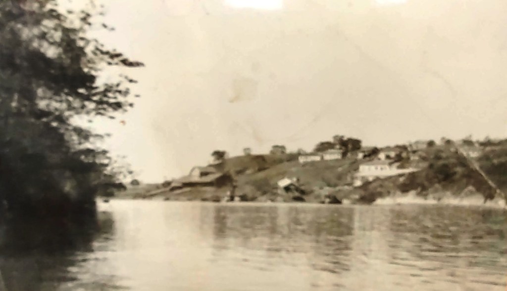
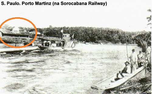
In August 1888, the railway company Cia. Ytuana opened a station there as the terminus of the São Manuel–Porto Martins line. The line was transferred to the Cia. União Sorocabana e Ytuana in 1892, to the Sorocabana Railway in 1907, and belonged to the E.F. Sorocabana from 1919 until its closure in 1954.
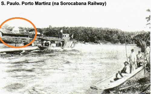
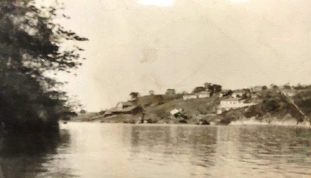
With the construction of the hydroelectric power station and dam at Barra Bonita, situated approximately 40 km downstream (1963–1973), the entire harbour area of Porto Martins and its history were flooded.
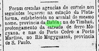
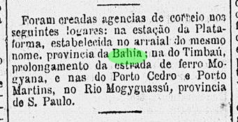
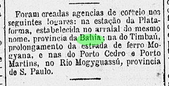
As reported by the press in Rio, a decision was taken in March 1888 to establish a post office in Porto Martins. A location on the River Mojiguaçu was incorrectly stated, a detail which was subsequently repeated by other media outlets.
No further reports on this post office have been found; it is possible that it never actually began operations. To date, no imperial postmark from Porto Martins has been seen. It must be extremely rare, if it exists at all.
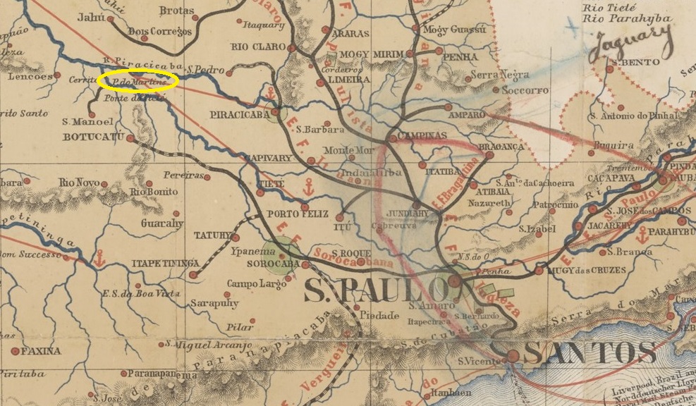
Mais uma vez, estamos diante de um local que hoje desapareceu do mapa e sobre o qual muitas perguntas permanecem sem resposta. O Porto (do) Martins foi construído antes de 1880 na margem sul do rio Tietê, no território do município de Botucatu, 250 km a noroeste da capital do estado, São Paulo. Desde o início, Porto Martins foi um importante elo econômico para a cidade de Botucatu.
Em agosto de 1888, a companhia ferroviária Cia. Ytuana inaugurou ali uma estação como terminal da linha São Manuel–Porto Martins. A linha passou para a Cia. União Sorocabana e Ytuana em 1892, para a Sorocabana Railway em 1907 e pertenceu à E.F. Sorocabana de 1919 até o encerramento das operações em 1954.
Com a construção da usina hidrelétrica e da barragem em Barra Bonita, localizada a cerca de 40 km rio abaixo (1963–1973), toda a área portuária de Porto Martins e sua história foram inundadas.
Conforme noticiado pela imprensa do Rio, em março de 1888 foi decidida a criação de uma agência dos correios em Porto Martins. Erroneamente, foi indicada uma localização às margens do rio Mojiguaçu, informação que foi reproduzida por outros veículos de imprensa.
Não foram encontradas outras notícias sobre essa agência; é possível que ela nem tenha entrado em funcionamento. Até o momento, nenhum carimbo postal imperial de Porto Martins foi avistado. Ele deve ser muito raro, se é que existe.
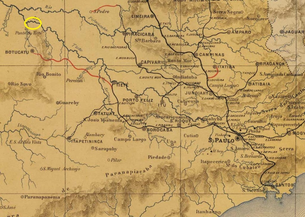
Hier haben wir es wieder mit einem Ort zu tun, der heute von der Karte verschwunden ist und über den viele Fragen unbeantwortet bleiben. Der Hafen Porto (do) Martins wurde vor 1880 am Südufer des Tietê im Gebiet des Município de Botucatu erbaut, 250 km nordwestlich der Provinzhauptstadt São Paulo. Von Beginn an war Porto Martins eine wichtige wirtschaftliche Verbindung für die Stadt Botucatu.
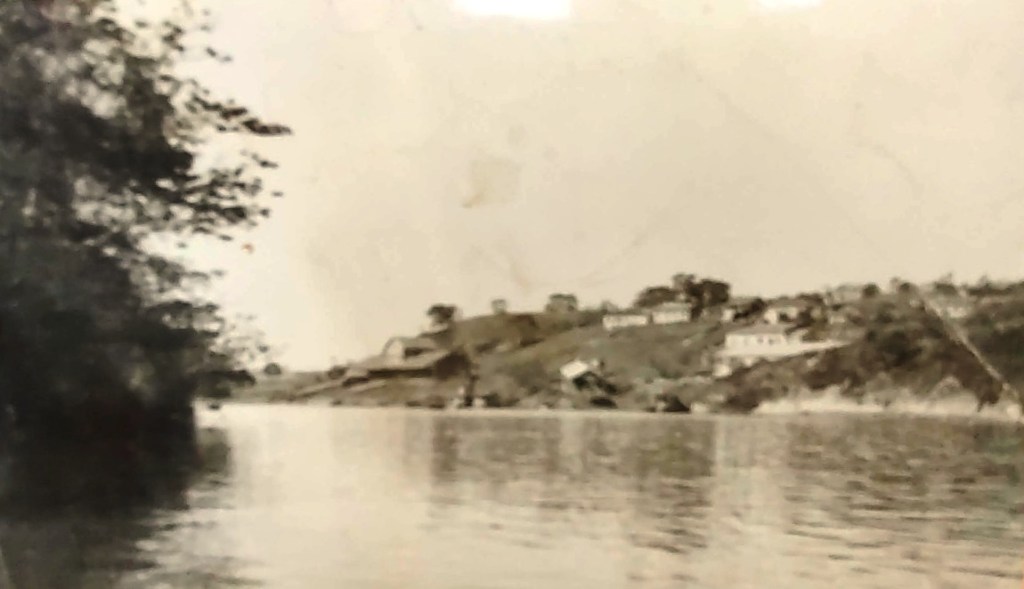
Im August 1888 eröffnete die Eisenbahngesellschaft Cia. Ytuana dort einen Bahnhof als Endstation der Linie São Manuel–Porto Martins. Die Linie ging 1892 an die Cia. União Sorocabana e Ytuana, 1907 an die Sorocabana Railway und gehörte von 1919 bis zur Stilllegung im Jahr 1954 der E.F. Sorocabana.
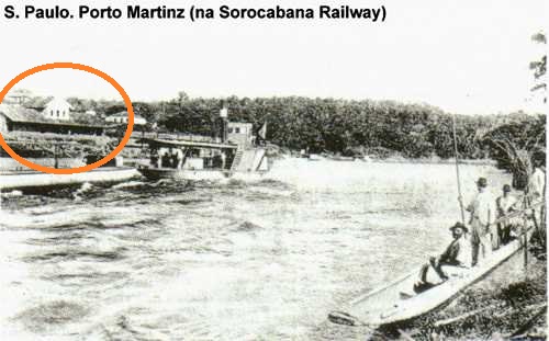
Mit dem Bau des Wasserkraftwerks und des Staudamms im ca. 40 km flussabwärts gelegenen Barra Bonita (1963–1973) wurde das gesamte Hafengebiet von Porto Martins und seine Geschichte überflutet.
Wie die Presse aus Rio meldete, wurde im März 1888 die Einrichtung eines Postamts in Porto Martins beschlossen. Fälschlicherweise wurde eine Lage am Fluss Mojiguaçu angegeben, die von weiteren Presseorganen übernommen wurde.
Sonst wurde keine weitere Meldung über diese Agentur gefunden, möglicherweise nahm sie den Betrieb gar nicht auf. Bisher wurde kein kaiserlicher Poststempel von Porto Martins gesehen. Er muss sehr selten sein, falls es ihn überhaupt gibt.


