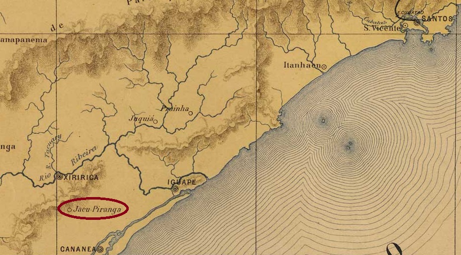
Other spellings: Jaguaryahiva, Jaguariaíva
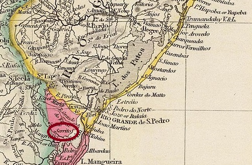
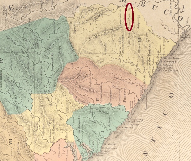
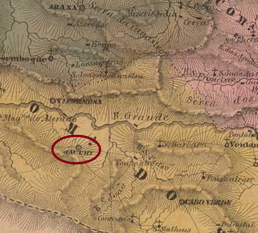
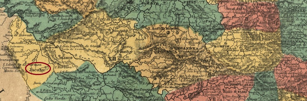
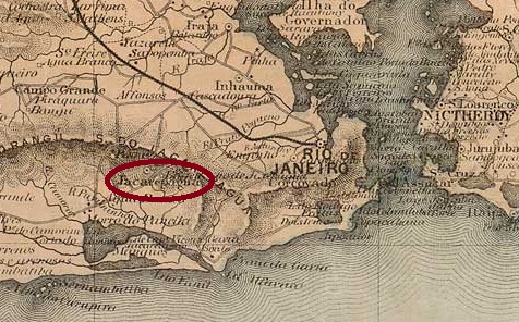
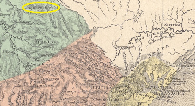
The beautiful word Jaguariahyva comes from the Tupi-guarani and means river of the aggressive jaguars. In 1795, this was the name of a fazenda on the west bank of the Jaguariaíva (the current spelling), 230 kilometres north of the future provincial capital of Curitiba. In September 1823, the settlement became the Freguesia de Senhor Bom Jesus da Pedra Fria de Jaguaryahiva, which belonged to the Vila de Castro. The Freguesia became a Vila in April 1875 and the Vila was elevated to a town in May 1908.

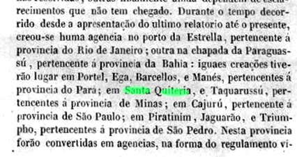
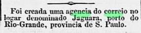
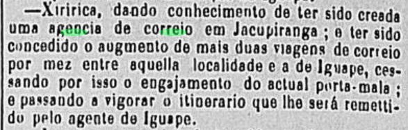
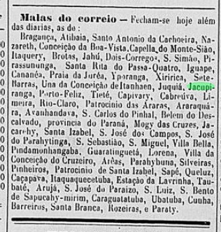
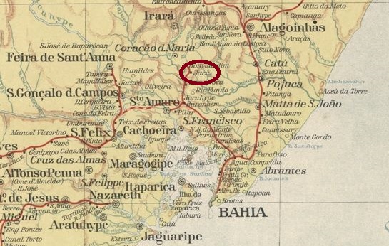
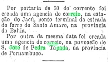
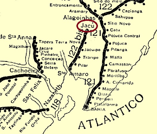
Nova Monteiro writes in Administrações e Agencias Postaes do Brasil Imperio (Brasil Filatelico/RJ, 1934-5; reprint SPP 1994-1999) that in August 1864 it was decided to establish a local post office, which is confirmed by the Rio press:

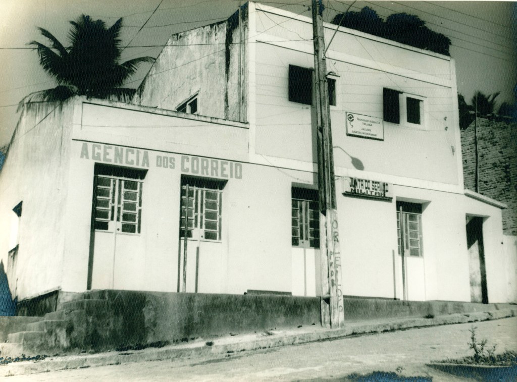
However, as no Jaguariahyva postal agency is mentioned in the following years, the post office started to operate probably only in 1868, as can be seen from the list of imperial post offices (Tabella das Agencias do Correio do Imperio, Rio de Janeiro, 1885).
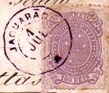
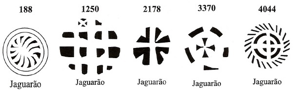
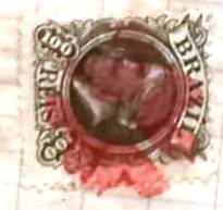
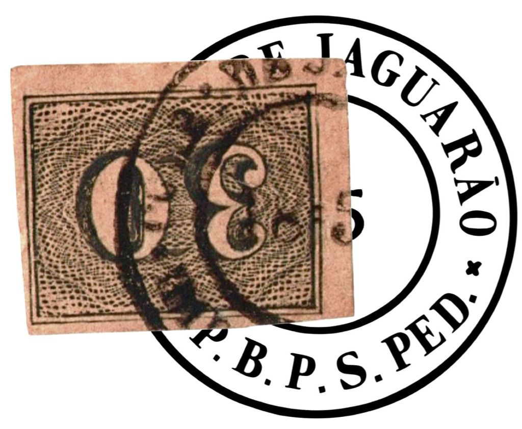
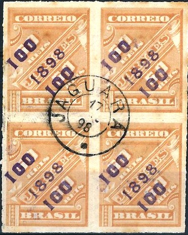
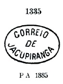
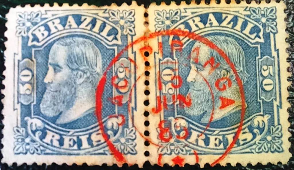
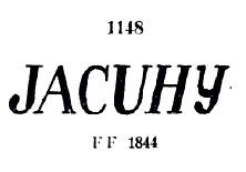
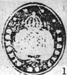
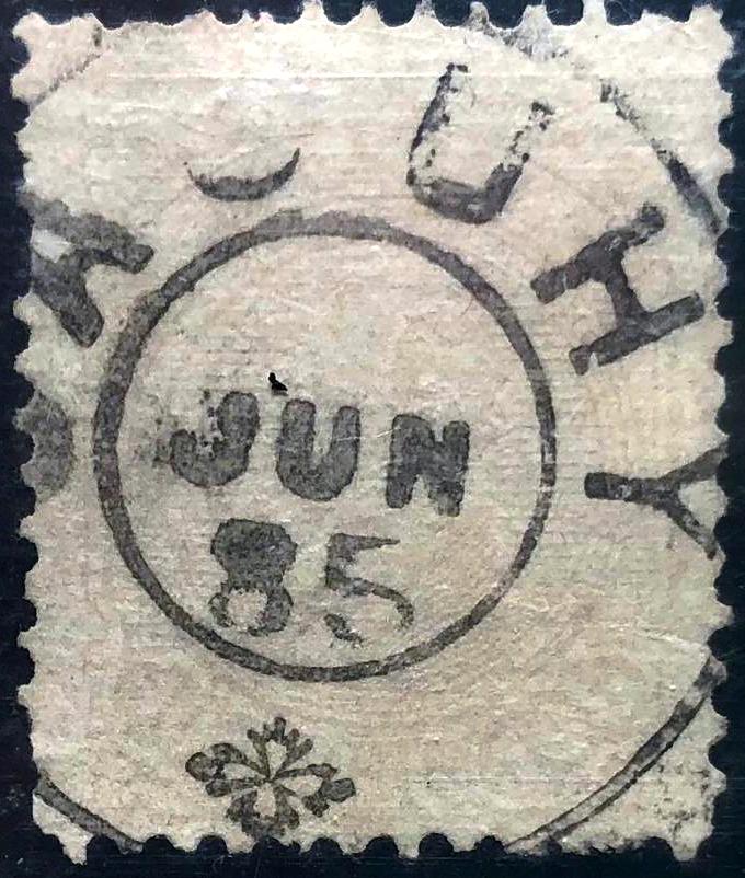
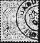
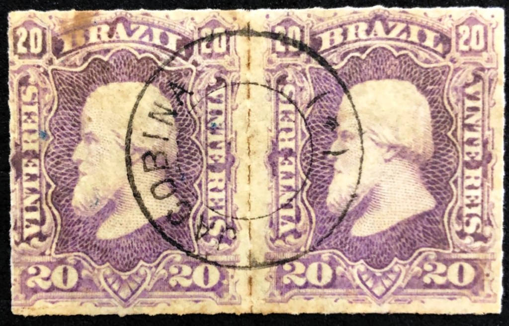
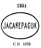
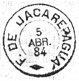
The only imperial postmark to date is JPR-0255a (fig. R. Koester in Carimbologia XXV):
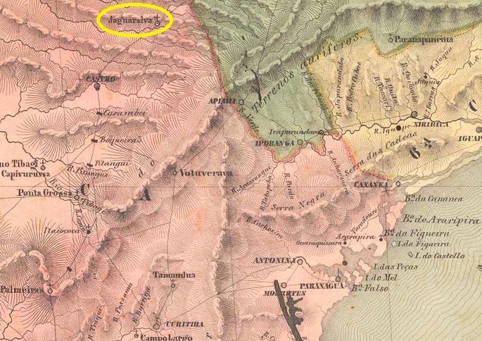
Andere Schreibweisen: Jaguaryahiva, Jaguariaíva
Das schöne Wort Jaguariahyva stammt aus dem Tupi-guarani und bedeutet Fluss der angriffslustigen Jaguare. So hieß 1795 eine Fazenda am Westufer des Jaguariaíva (so die heutige Schreibweise), 230 km nördlich der späteren Provinzhauptstadt Curitiba. Im September 1823 wurde aus der Siedlung die Freguesia de Senhor Bom Jesus da Pedra Fria de Jaguaryahiva, die zur Vila de Castro gehörte. Die Freguesia wurde im April 1875 zur Vila und diese im Mai 1908 zur Stadt erhoben.
Nova Monteiro schreibt in Administrações e Agencias Postaes do Brasil Imperio (Brasil Filatelico/RJ, 1934-5; Reprint SPP 1994-1999), dass im August 1864 beschlossen wurde, ein Postamt vor Ort zu errichten, was durch die Presse aus Rio bestätigt wird:
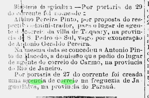
Da aber in den folgenden Jahren keine Postagentur Jaguariahyva erwähnt wird, wurde das Postamt vermutlich erst 1868 aktiv, wie aus dem Verzeichnis der kaiserlichen Postämter (Tabella das Agencias do Correio do Imperio, Rio de Janeiro, 1885) hervorgeht.
Der bisher einzige kaiserliche Poststempel ist JPR-0255a (Abb. R. Koester in Carimbologia XXV):