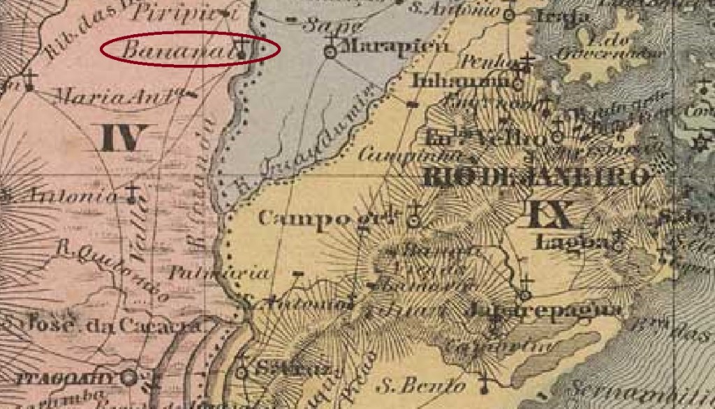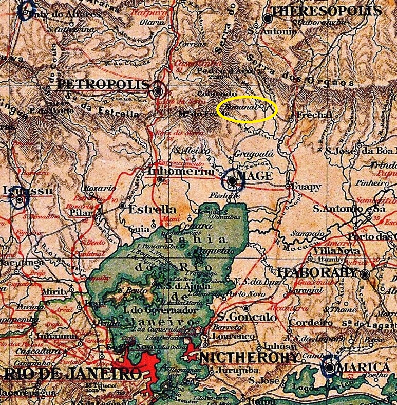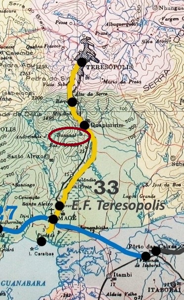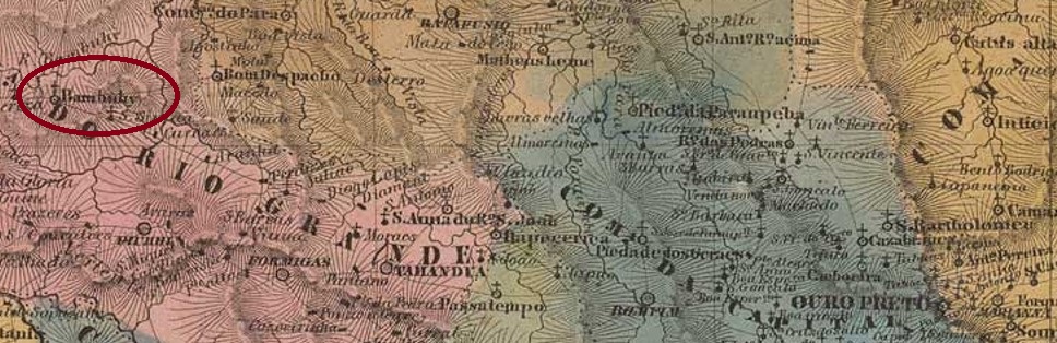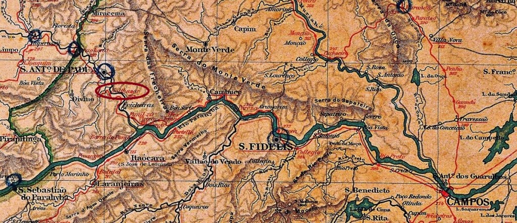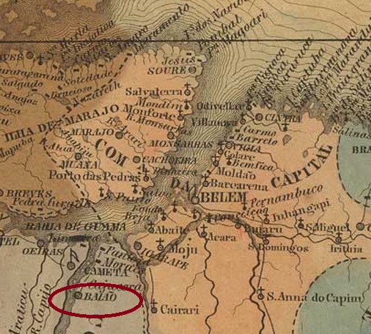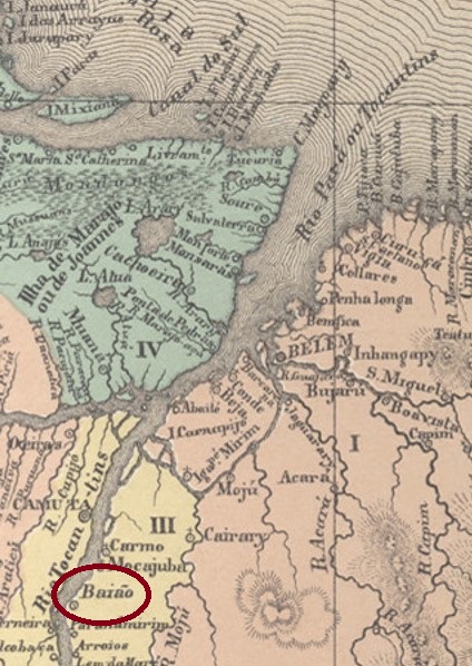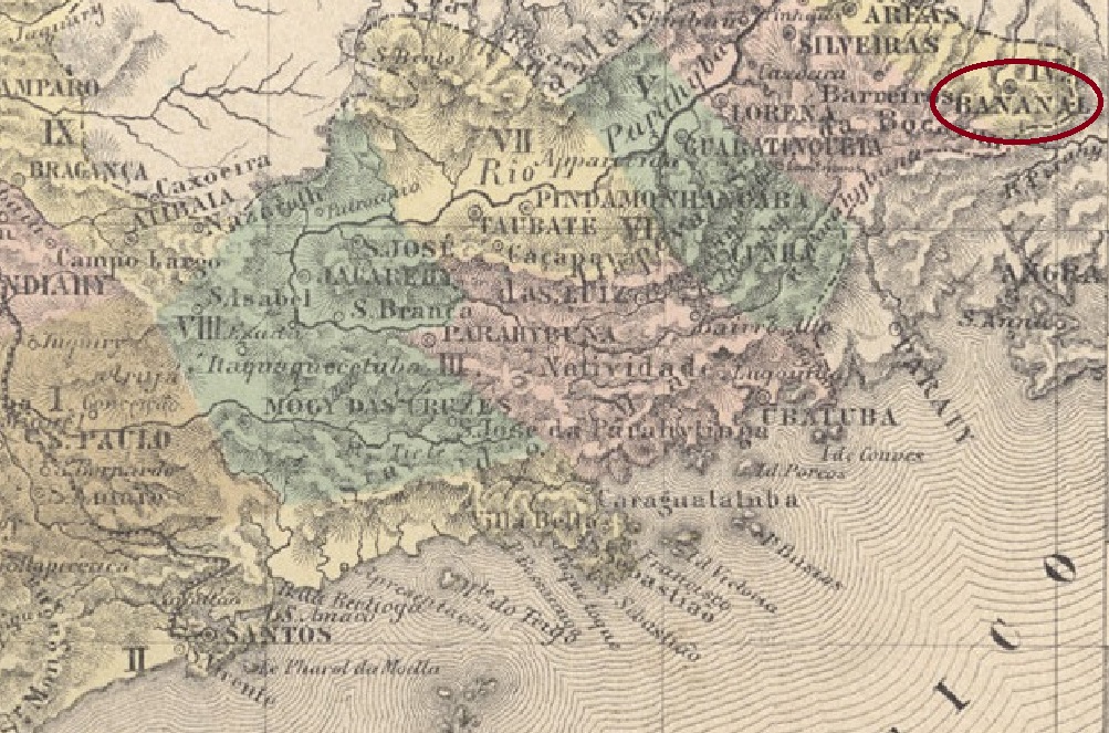
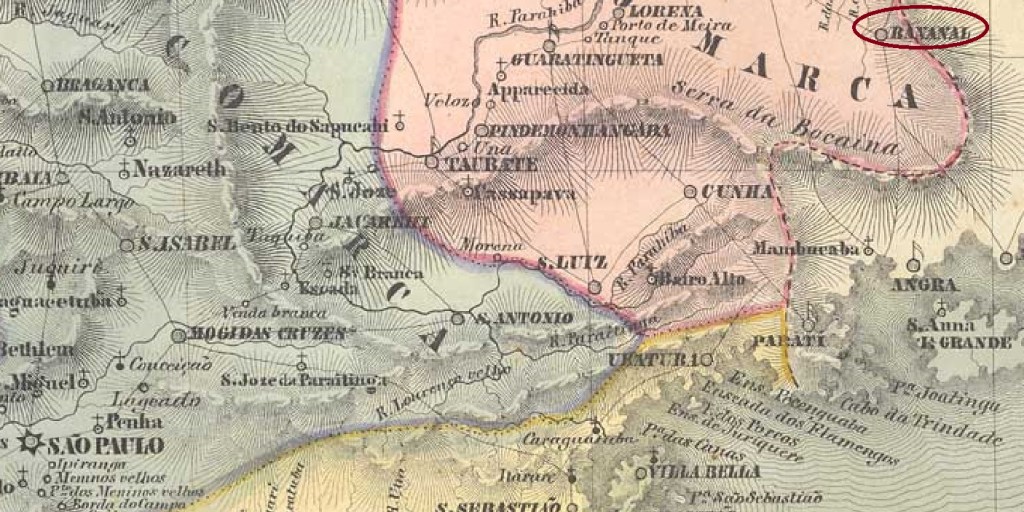
The Freguesia of Senhor Bom Jesus do Livramento do Bananal was founded in January 1811 by royal decree (Alvará Real) and was located on the south bank of the Bananal River at the Vila of Lorena, 320 km east of the provincial capital São Paulo. In November 1816, the jurisdiction changed: now it belonged to the Vila of Areias. In July 1832 Bananal became a vila and in April 1849 a town.
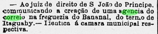
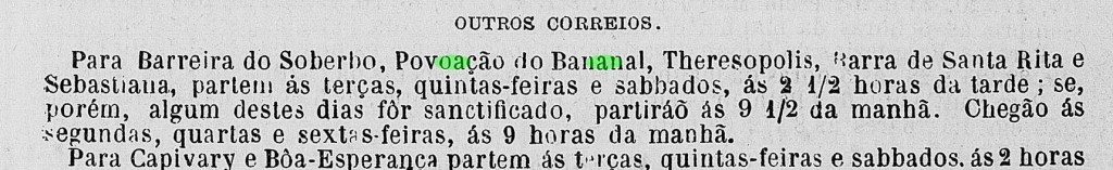
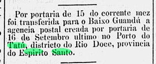
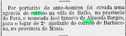
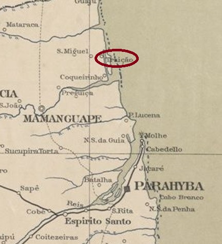
It has not yet been possible to find the date of origin of the local post office. Nova Monteiro (Administrações e Agencias Postaes do Brasil Imperio, in Brasil Filatelico/RJ, 1934-5; Reprint SPP 1994-1999) only writes about the appointment of a postal agent in December 1848. It is certain that there was already a functioning postal system in the village in August 1829, as reported in the regional press:

The Directory of Imperial Post Offices (Tabella das Agencias do Correio do Imperio, Rio de Janeiro, 1885) lists a post office opening in 1856 in Bananal. However, this is probably a misprint, as neither the postal guide (Guia do Correio do Brasil) nor the imperial ministerial report (Relatorio do Ministerio do Imperio) for 1857 can confirm this information.
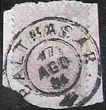
Regarding the postmarks: the first is BSP-0090a, which also occurs in brown and was already seen in the RHM catalogue under P-SP-04. However, the dot after the place name is missing in the illustration, as can be seen at right (Mario Celso Orsi Jr.):

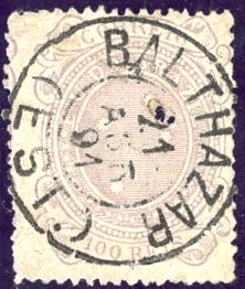
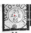
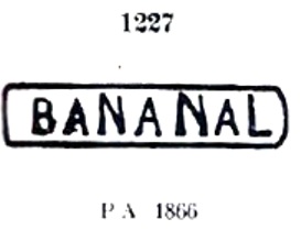
It was followed by BSP-0090b, known by Paulo Ayres (Catálogo de Carimbos Brasil-Império, S. Paulo, 1937, 1942) under no.1227:
Then came the French type BSP-0090c, also shown in the Paulo Ayres (op. cit.):

The last imperial postmark is BSP-0090d (image: Mario Celso Orsi Jr.), used from 1887 to 1896: a double circle with the inscription BANANAL above and a (C) – for Cidade – below.
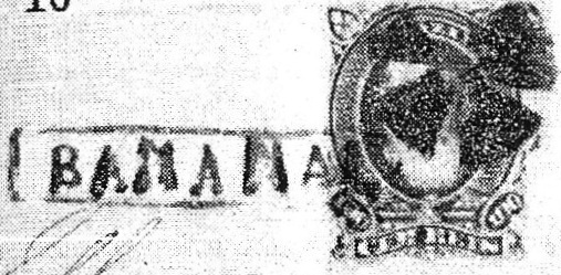
Between BSP-0090a and BSP-0090b a handwritten cancellation (image: Mário Celso Orsi Jr.) was used:

Finally, R. Koester (Carimbologia III) also presented a mute cancellation from Bananal:
Die Freguesia von Senhor Bom Jesus do Livramento do Bananal wurde im Januar 1811 durch königliche Verfügung (Alvará Real) gegründet und lag am Südufer des Flusses Bananal bei der Vila von Lorena, 320 km östlich der Provinzhauptstadt São Paulo entfernt. Im November 1816 wechselte die Zuständigkeit: nun gehörte sie der Vila von Areias. Im Juli 1832 wurde aus Bananal eine Vila und im April 1849 eine Stadt.
Es ist bisher nicht gelungen, den Entstehungstermin fürs örtliche Postamt zu ermitteln. Nova Monteiro (Administrações e Agencias Postaes do Brasil Imperio, in Brasil Filatelico/RJ, 1934-5; Reprint SPP 1994-1999) schreibt lediglich über die Ernennung eines Postagenten im Dezember 1848. Sicher ist, dass bereits im August 1829 ein funktionierendes Postwesen vor Ort gab, wie die Regionalpresse berichtet:

Das Verzeichnis der kaiserlichen Postämter (Tabella das Agencias do Correio do Imperio, Rio de Janeiro, 1885) listet eine Posteröffnung 1856 im Bananal auf. Das dürfte aber ein Druckfehler sein, denn weder der Postführer (Guia do Correio do Brasil) noch der kaiserliche Ministerialbericht (Relatorio do Ministerio do Imperio) für 1857 können diese Angabe bestätigen.
Zu den Poststempeln: der erste ist BSP-0090a, der auch in Braun vorkommt und bereits im RHM-Katalog unter P-SP-04 zu sehen war. Allerdings fehlt in der Abbildung der Punkt nach dem Ortsnamen, wie man in der Abbildung (Mario Celso Orsi Jr.) feststellen kann:

Ihm folgte BSP-0090b, bekannt durch Paulo Ayres (Catálogo de Carimbos Brasil-Império, S. Paulo, 1937, 1942) unter Nr.1227:

Danach kam der französische Typus BSP-0090c, auch im Paulo Ayres (op. cit.) abgebildet:

Der letzte kaiserliche Poststempel ist BSP-0090d (Abb. Mario Celso Orsi Jr.), der von 1887-1896 verwendet wurde: ein Doppelkreis mit der Inschrift BANANAL oben und einem (C) – für Cidade – unten.
Zwischen BSP-0090a und BSP-0090b wurde eine handschriftliche Entwertung (Abb. Mário Celso Orsi Jr.) benutzt:

Schließlich zeigte R. Koester (Carimbologia III) auch eine stumme Abstempelung aus Bananal: